What Scalloped Topography Looks Like
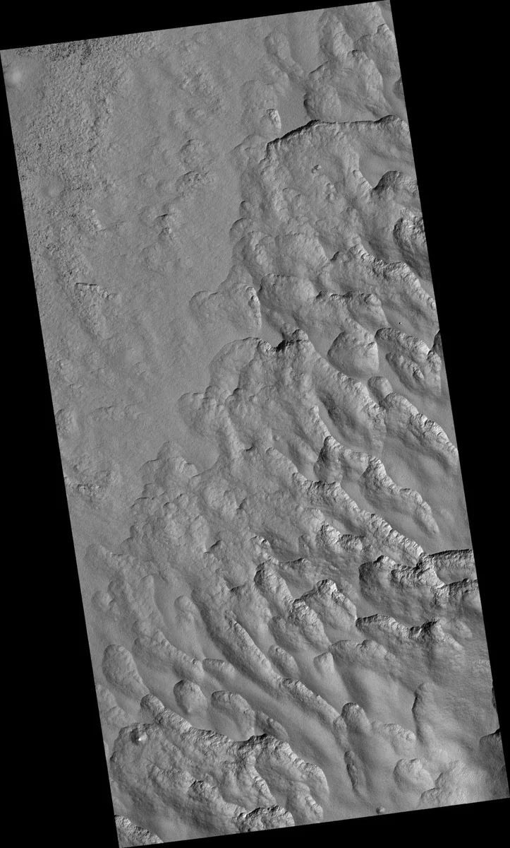
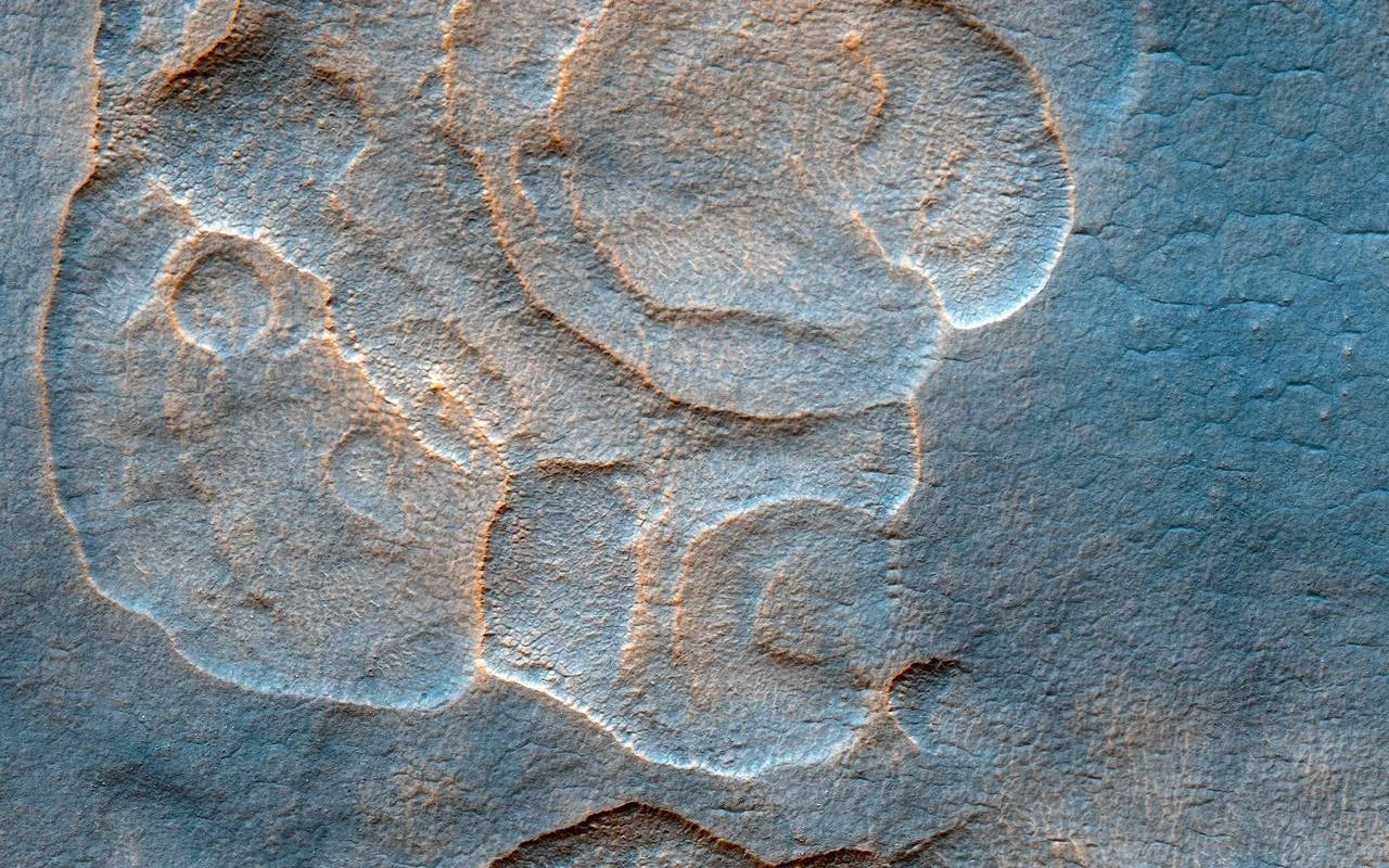
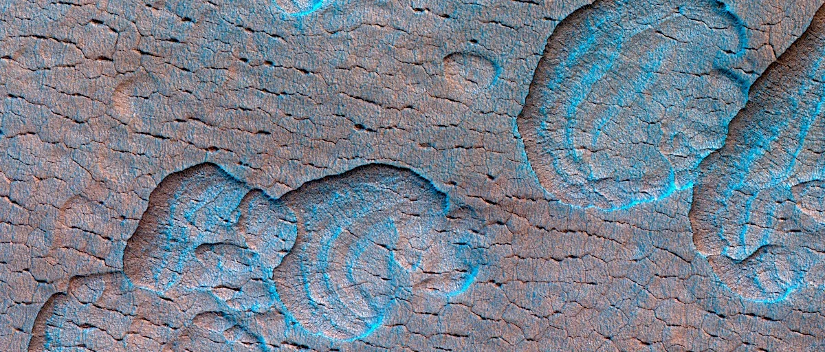
Scalloped topography appears as shallow, rim‑less depressions with gently curved, scalloped edges. These features are most common between 45° and 60° latitude in both hemispheres, especially across Utopia Planitia in the north and the Peneus‑Amphitrites Paterae region in the south. Individual depressions may stand alone or cluster together, sometimes merging into larger, irregular basins. A typical scallop shows a gentle slope that faces the equator and a steeper scar that points toward the pole, an asymmetry linked to differences in solar heating.
How the Scallops Form
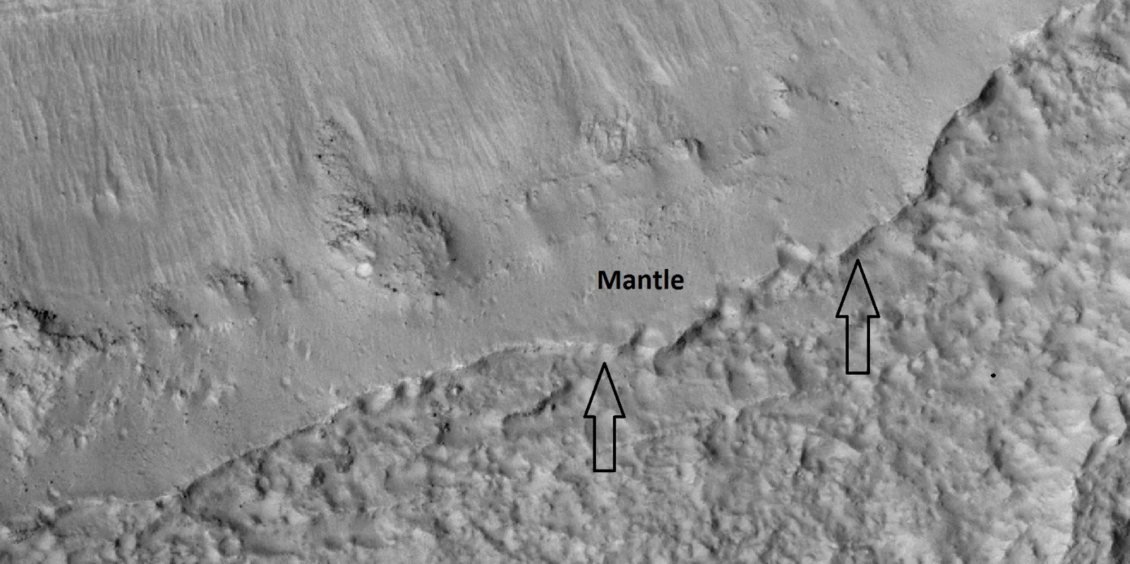
Current research points to the loss of subsurface ice through sublimation – the direct change from solid to gas – as the primary driver. A small trigger such as a minor impact, localized darkening, or a crack can start the process. Once exposed, the ice sublimates, causing the ground above to collapse and create the characteristic depression. Over tens of thousands of Martian years, repeated cycles of sublimation can enlarge these features. A 2016 study in Icarus outlined a five‑step sequence: (1) climate shifts from changes in Mars’ axial tilt generate an icy mantle, (2) the mantle thaws or evaporates under new conditions, (3) meltwater percolates down to the depth of future scallops, (4) freeze‑thaw cycles produce ice lenses, and (5) a subsequent tilt‑driven climate change causes those lenses to sublimate, leaving the scalloped depressions we see today.
Ice Deposits Beneath the Scallops
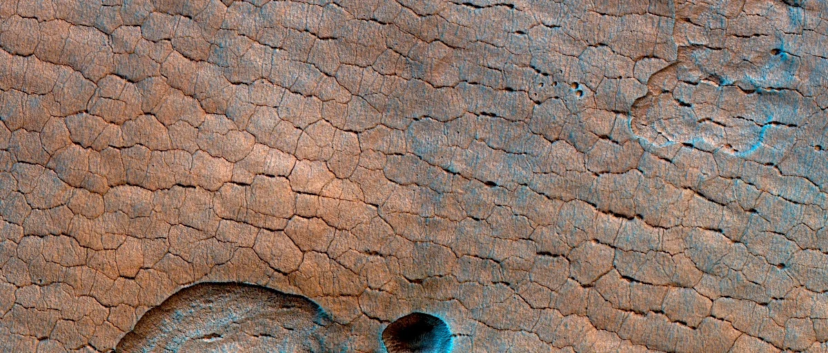
Scalloped terrain is a strong indicator of large, relatively pure ice deposits. Radar data from SHARAD aboard the Mars Reconnaissance Orbiter can detect ice‑rich layers thicker than about 10–20 m. In Utopia Planitia, SHARAD identified a subsurface layer with a dielectric constant of ~2.8, suggesting a mixture of 50–80 % water ice, modest rock content, and significant porosity. The Phoenix lander previously measured ice that was up to 99 % pure, reinforcing the idea that the ice beneath scallops is largely free of contaminants. Because the ice can be tens of meters deep, these depressions act as natural markers for future resource extraction.
Surface Patterns That Tell a Story
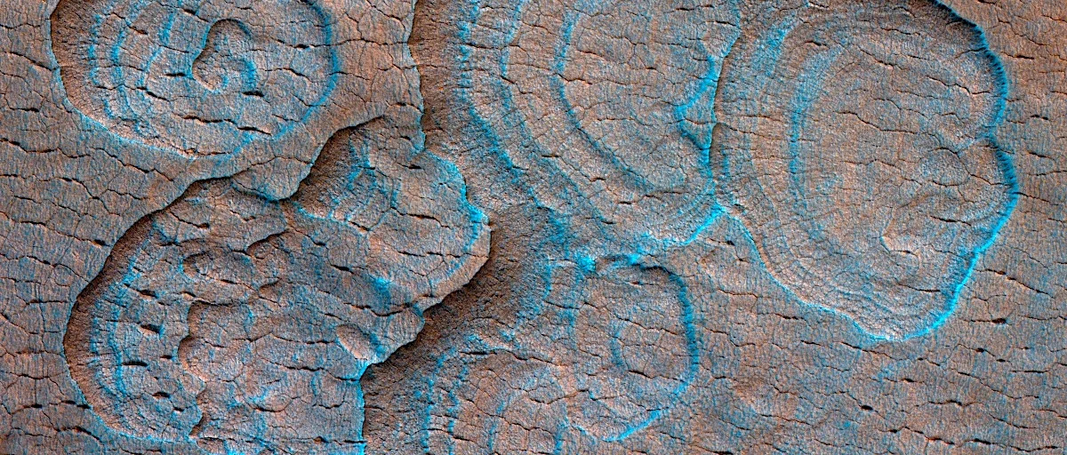
Around many scalloped depressions, the ground displays “patterned ground” – networks of polygonal fractures. Small polygons (5–10 m across) line the steep scarps, while larger polygons (30–50 m) appear on the surrounding plains. On Earth, similar patterns develop in periglacial environments where the ground contracts or subsides as ice is lost. In Utopia Planitia, curvilinear ridges etched into the floors of large scallops may represent successive stages of scarp erosion or the tops of layered deposits, offering clues about the timing of ice loss.
Why Scalloped Topography Matters for Exploration
For scientists and engineers planning a human presence on Mars, locating accessible water is a top priority. Scalloped depressions point to regions where thick, relatively pure ice lies close to the surface, potentially reducing the energy needed for extraction. The presence of such ice also influences local stability; ground that has lost ice can subside, affecting the safety of habitats or infrastructure built nearby. Understanding the distribution and evolution of scalloped terrain therefore helps map safe landing zones, resource sites, and long‑term settlement strategies.
From Ice to Fungi: A Vision for Mars
If future crews can tap the ice beneath scalloped depressions, they could generate water for life‑support systems and even for cultivating mushrooms—an efficient, protein‑rich food source that thrives in controlled environments. The very landscapes that hint at hidden water may one day nurture the first Martian mushroom farms, bringing a touch of Earth’s fungal kingdom to the Red Planet.
Sources
This article was prepared with AI assistance from the sources listed above and approved by the Mushroom 2 Mars team before publication.