What Polygonal Patterned Ground Looks Like
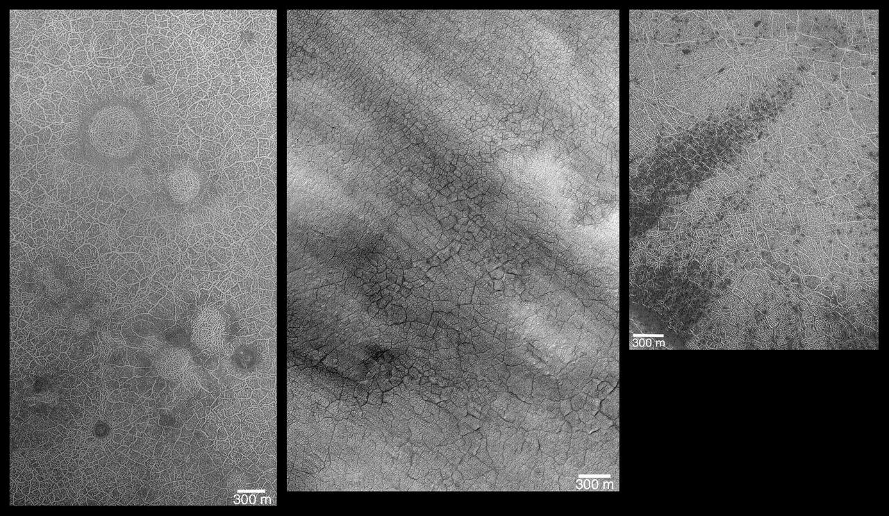
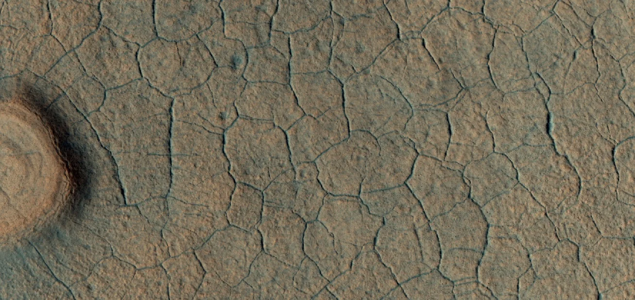
Mars is dotted with striking, geometric patches that resemble a giant jigsaw puzzle. These features, called polygonal patterned ground, appear as networks of roughly regular shapes ranging from a few meters to tens of meters across. High‑center polygons rise in the middle, while low‑center polygons dip in the center, creating a subtle topographic contrast that can be seen in orbital images.
How Ice Drives the Patterns
The leading explanation ties the polygons to ice that once lay just beneath the surface. When solid ice turns directly into water vapor—a process known as sublimation—the surrounding soil loses material. Cracks develop where sublimation is strongest, increasing the surface area exposed to the cold, dry Martian air. Over many seasonal cycles, these cracks widen into troughs, forming the high‑center polygons that are about 10 m across with 2–3 m wide troughs. As the process continues, sediment can fill the troughs, slowing sublimation there while the center continues to lose ice, eventually producing low‑center polygons that are 5–10 m across with 3–4 m wide ridges. This gradual reshaping mirrors the way columnar jointing forms in cooling lava on Earth.
The Role of the Latitude‑Dependent Mantle
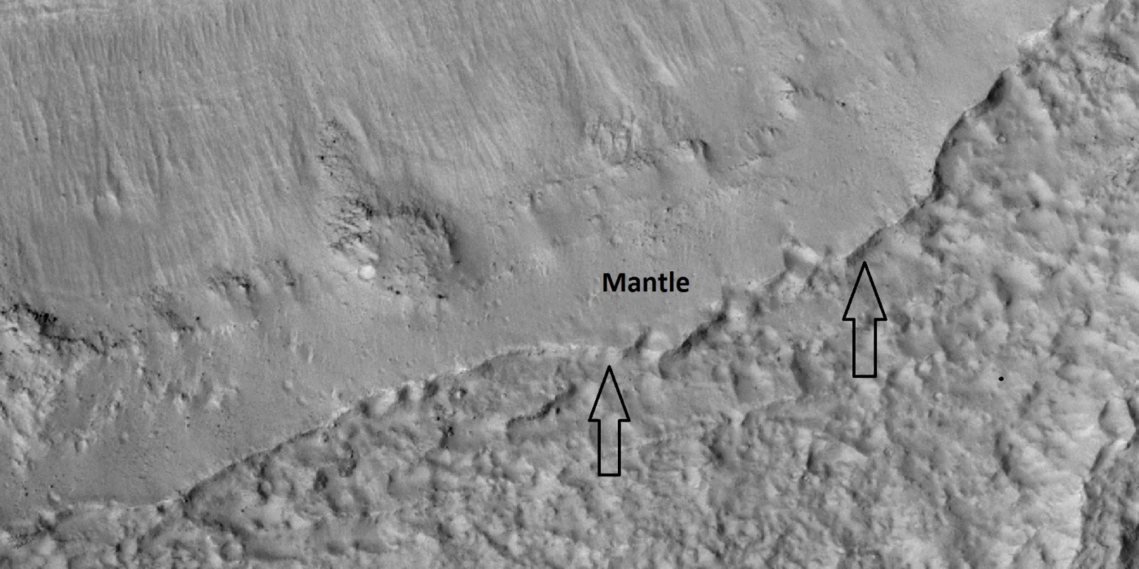
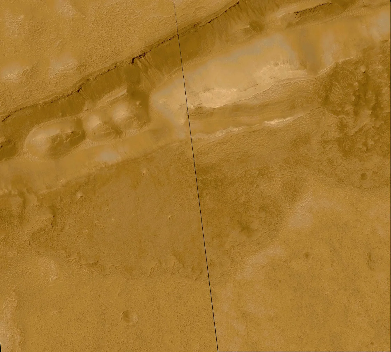
Much of the patterned ground sits within a thick, ice‑rich layer called the latitude‑dependent mantle. Scientists believe this mantle fell from the sky as snow and dust during periods when Mars’ axial tilt (obliquity) was much higher than today—sometimes exceeding 40°. The mantle’s ice eventually sublimates, leaving a protective lag of dust on top. This lag slows further ice loss, allowing the mantle to persist for thousands of years and providing the substrate for polygon formation.
Boulders and Clastic Patterns
Not all Martian polygons arise from ice. In several regions—such as the Northern Plains, Elysium Planitia, and the Argyre Basin—clusters of boulders arrange themselves into polygonal shapes. Researchers studying Lomonosov Crater concluded that these clastic patterns are not linked to underlying fracture networks, suggesting an as‑yet‑unknown process that mobilizes rocks into geometric configurations.
Why Polygons Matter for Future Missions
Polygonal ground can serve as a natural map of subsurface ice. Low‑center polygons, in particular, are thought to mark locations where ground ice remains relatively close to the surface. For future colonists, identifying these areas could help locate water resources for life‑support systems, agriculture, and fuel production. The presence of a stable lag deposit also hints at a protective layer that might preserve ice over long periods, an attractive feature for long‑term habitats.
Comparing Mars and Earth
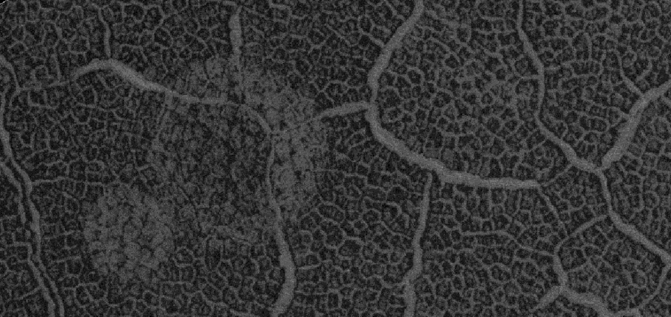
Polygonal patterned ground isn’t unique to Mars; it also appears in Earth’s polar regions where permafrost undergoes seasonal freeze‑thaw cycles. On Earth, the process is driven by melting and refreezing rather than sublimation, but the resulting geometric patterns are remarkably similar, underscoring the universal physics of ice‑rich soils.
Looking Ahead: From Patterns to Plants
Understanding how these polygons form and where they indicate ice helps scientists design future experiments—perhaps even growing mushrooms in Martian regolith. By locating stable ice deposits beneath the patterned ground, we can envision a closed‑loop system where water extracted from the soil supports fungal cultivation, bringing a taste of Earth to the Red Planet.
Sources
This article was prepared with AI assistance from the sources listed above and approved by the Mushroom 2 Mars team before publication.