What is fretted terrain?
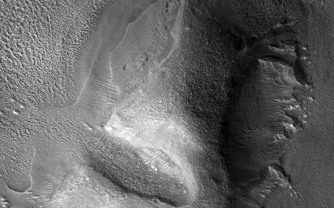
Fretted terrain is a distinctive Martian surface type first identified in images from the Mariner 9 spacecraft. It occupies the transitional zone between the planet’s low‑lying, relatively young northern plains and the older, heavily cratered highlands of the southern hemisphere. In this “dichotomy” region the landscape is a patchwork of cliffs, mesas, buttes, straight‑walled canyons and sinuous valleys, often interspersed with smooth, flat lowlands.
Where it appears on Mars
Two of the most studied fretted‑terrain provinces are Deuteronilus Mensae and Protonilus Mensae in northern Arabia Terra (roughly 30°–50° N, 270°–360° W). A second area lies in Aeolis Mensae, straddling the equator (≈10° N to 10° S, 210°–240° W). While both regions share the characteristic mix of cliffs and valleys, Aeolis Mensae lacks the debris aprons that dominate Arabia Terra’s mesas.
The cliff‑and‑mesa landscape
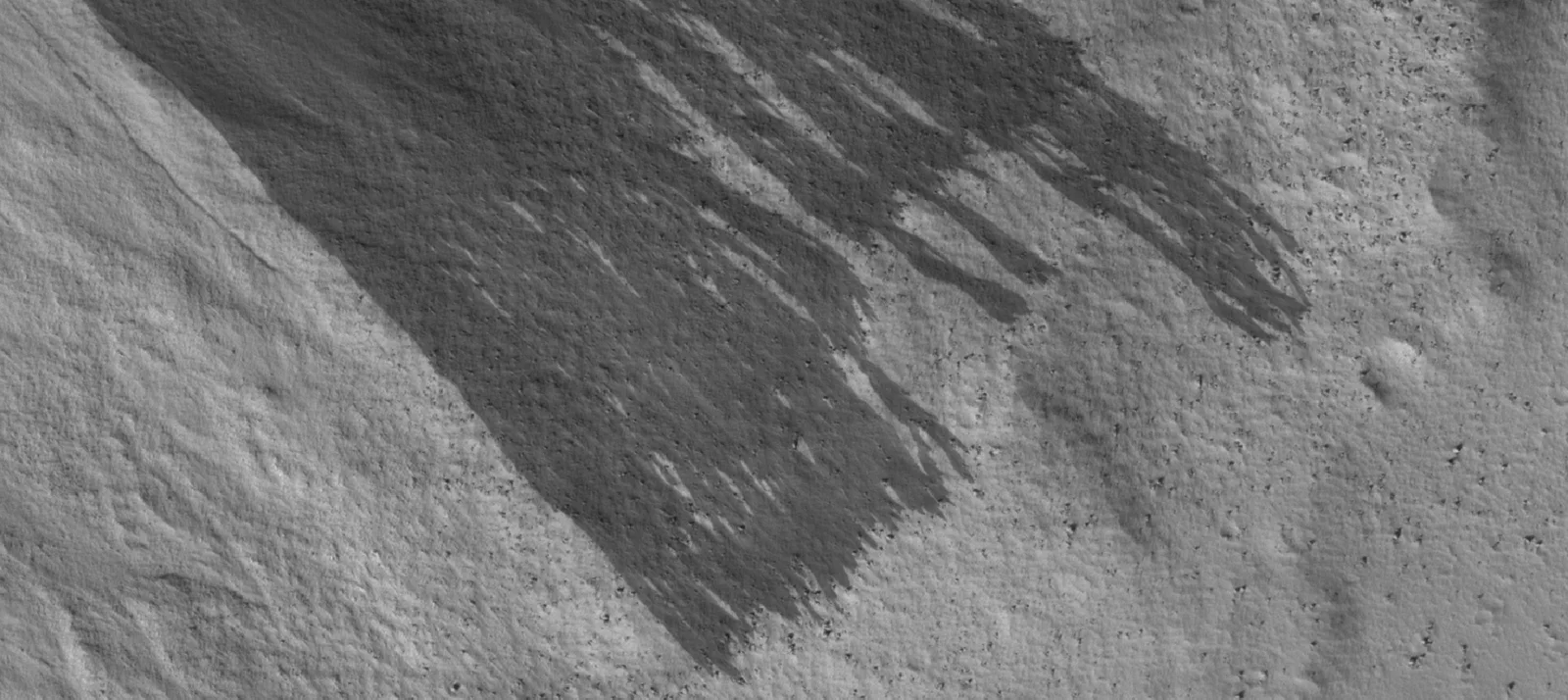
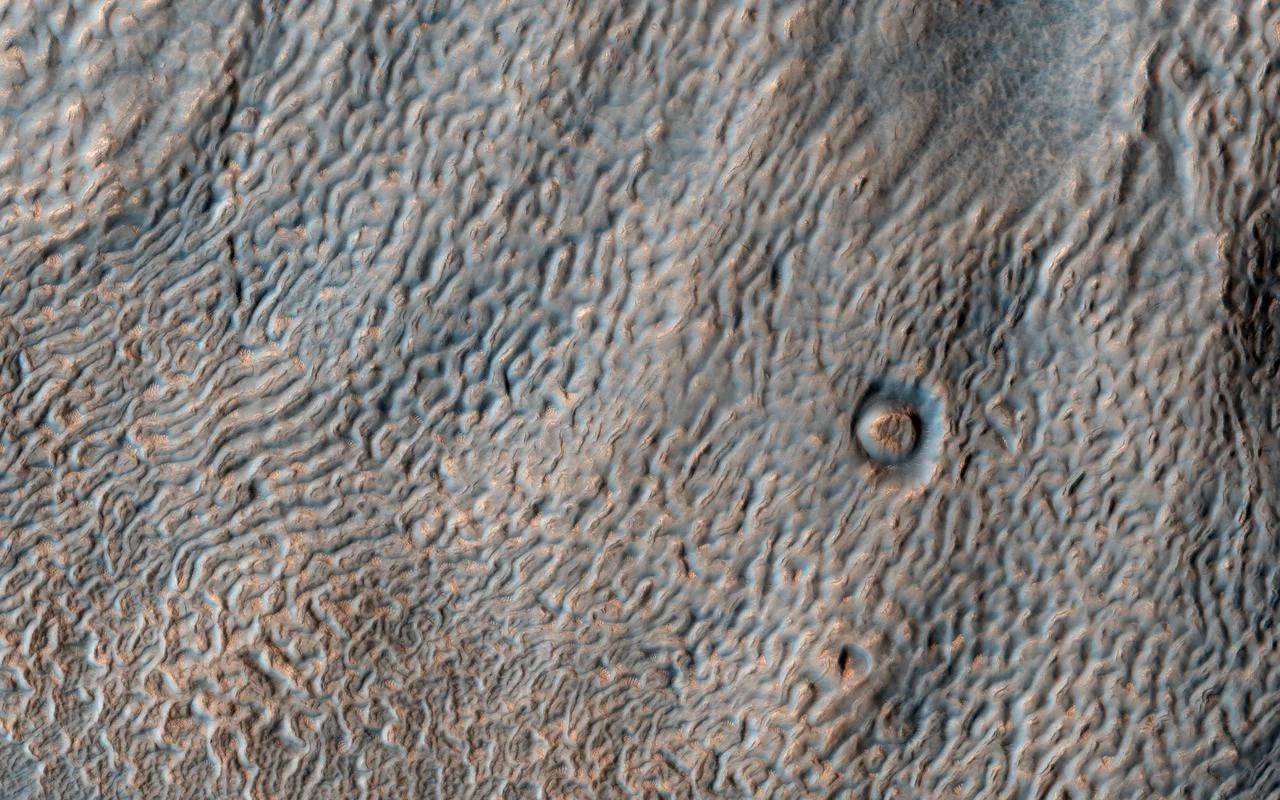
Typical scarps in fretted terrain rise 1–2 km, creating dramatic vertical relief. Narrow, straight valleys often widen into isolated mesas. Around many mesas scientists have identified features called debris aprons, rock glaciers, or lobate debris aprons. Early images made these aprons look like Earth’s rock‑covered glaciers, but it was not clear whether material was actually moving.
Ice beneath the surface
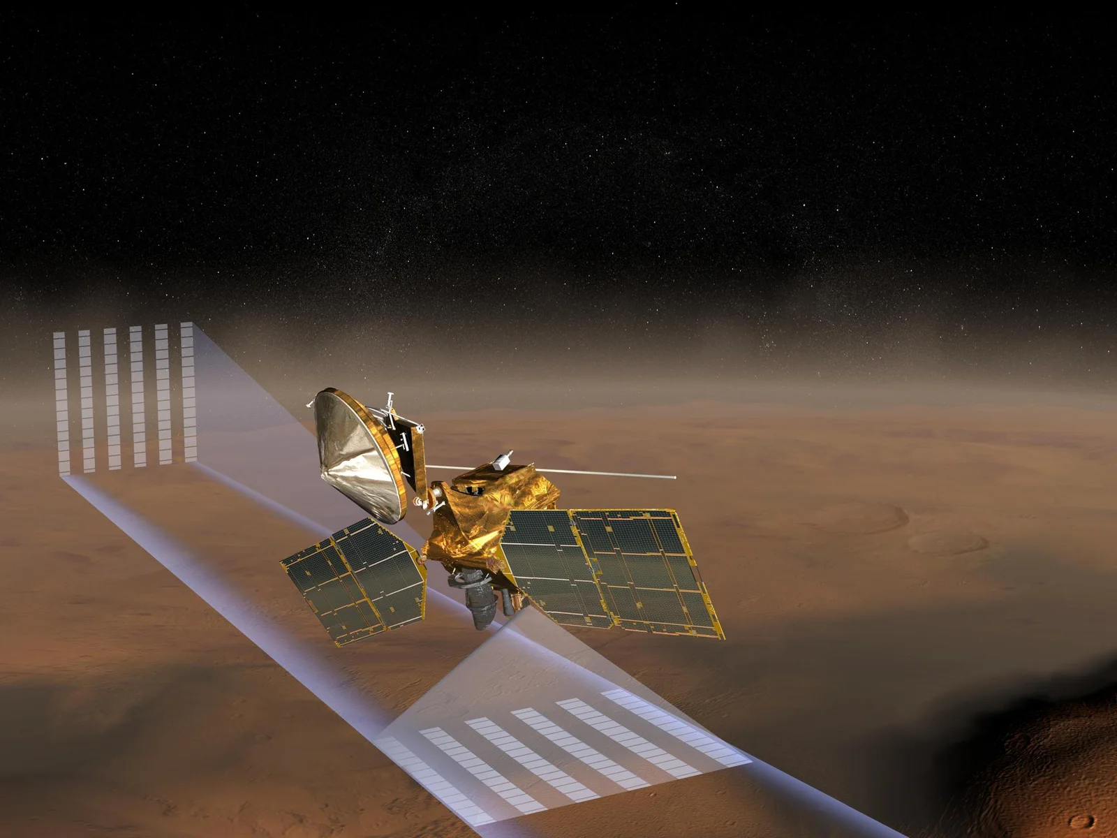
Radar observations from the Mars Reconnaissance Orbiter finally settled the debate. The lobate aprons contain pure water ice capped by a thin layer of debris that insulates the ice from sublimation. This discovery shows that, despite the arid appearance of the Martian surface, large subsurface ice deposits still persist at mid‑latitudes.
Lineated valley fill and glacial clues
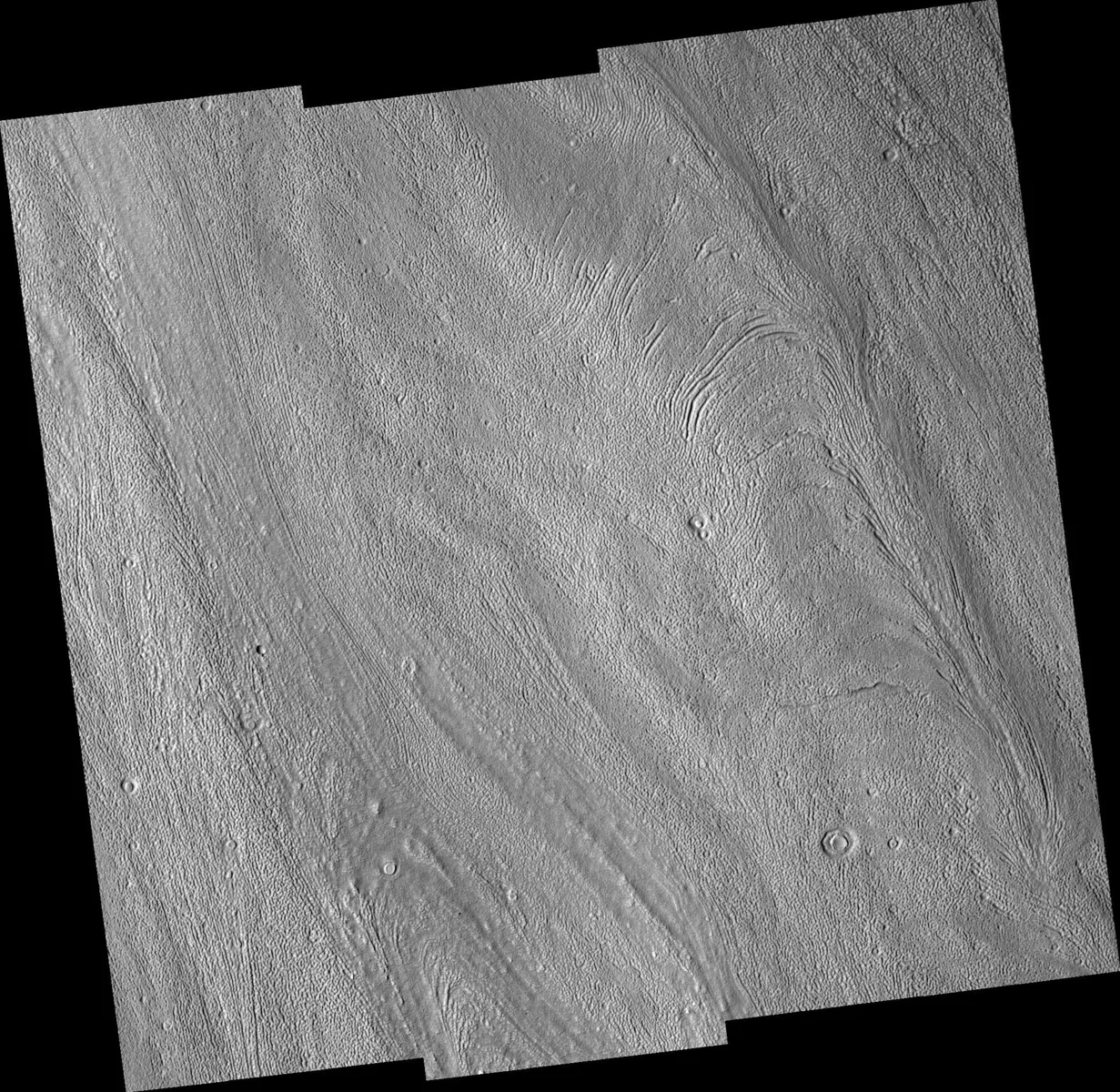
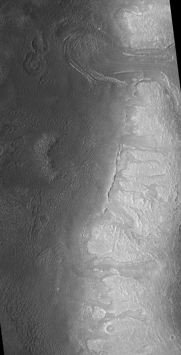
Many fretted valleys host lineated valley fill—ridges and grooves that line the valley floor. Viking Orbiter photographs revealed patterns reminiscent of terrestrial alpine glaciers, leading researchers to propose that ice flow once sculpted these valleys. Current consensus holds that glacial movement, rather than just liquid water, produced the observed lineations.
How the terrain erodes
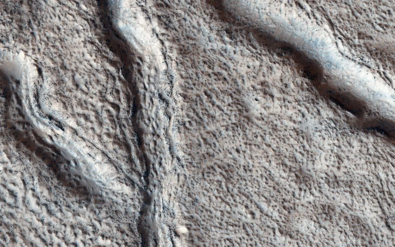
The plateau material that makes up fretted terrain is unusually fine‑grained and contains almost no boulders, contrasting sharply with the basaltic rock that dominates most of Mars. Because the particles are small, wind can transport them more easily, causing relatively rapid erosion of the plateau. A 2018 presentation at the Lunar and Planetary Science Conference suggested that subsurface water flow may have accelerated this erosion, indicating that water—either liquid or ice‑rich—played a role in shaping the landscape.
Competing formation theories
Scientists have proposed several mechanisms for the origin of fretted channels and the surrounding terrain: 1. Groundwater sapping – pressurized water emerging from the subsurface could carve channels. 2. Ice‑assisted mass wasting – melting ice destabilizes slopes, causing debris flows. 3. Fluvial processes – surface runoff from liquid water could have incised valleys. 4. Glacial expansion – lobate debris aprons may have widened pre‑existing channels, with sublimation further enlarging them. Later work highlighted the possible role of volcanic activity: phreatomagmatic eruptions could supply water for valley incision, while lava‑induced heating of ice sheets might trigger melting, groundwater flow, and subsequent channel formation. The exact timing remains uncertain, and the most recent studies suggest a combination of volcanic, glacial and aqueous processes.
Why fretted terrain matters for future exploration
Understanding fretted terrain helps scientists reconstruct Mars’ climate history, especially the cycles of obliquity that cause polar ice to migrate toward the mid‑latitudes. The hidden ice in lobate aprons could also be a valuable resource for future human missions, providing water for life‑support and fuel production. For the Mushroom 2 Mars project, the presence of stable ice beneath rocky debris offers a tantalising hint that cultivated fungi could one day be nurtured on Martian soil, using locally sourced water.
The stark cliffs and icy aprons of fretted terrain remind us that Mars is a world shaped by fire, water and wind—an ever‑changing laboratory for planetary science.
Sources
This article was prepared with AI assistance from the sources listed above and approved by the Mushroom 2 Mars team before publication.