A Planet Split in Two
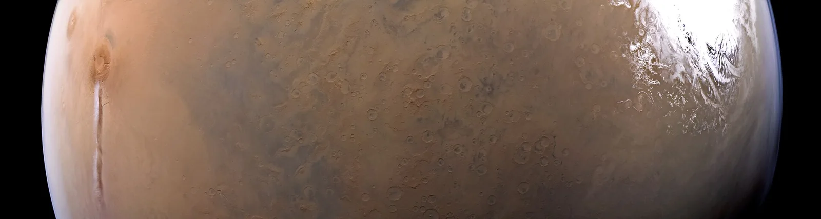
Mars presents a dramatic split between its northern lowlands and southern highlands. The two regions differ in elevation by 1–3 km, with the average crust thickness about 45 km—roughly 32 km under the flat northern basin and 58 km beneath the rugged southern terrain. This contrast, known as the Martian dichotomy, covers roughly one‑third of the planet’s surface in the north and two‑thirds in the south, and it shapes everything from crater density to valley formation.
The Boundary’s Rugged Face
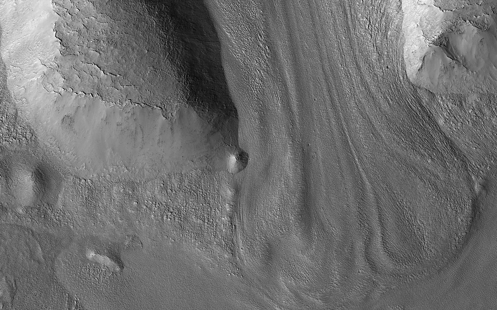
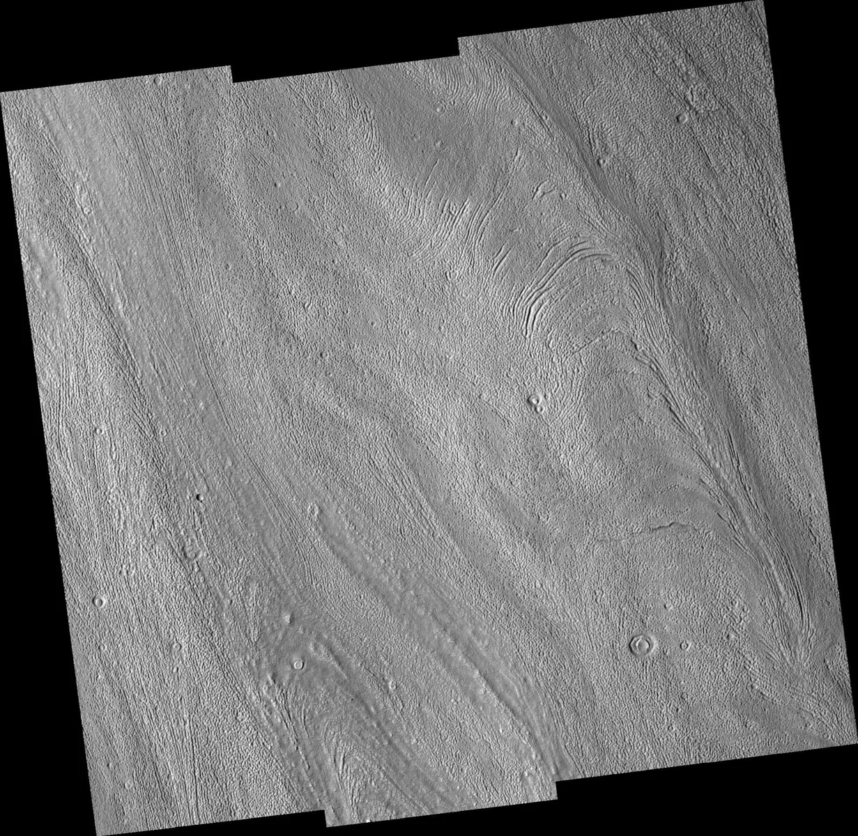
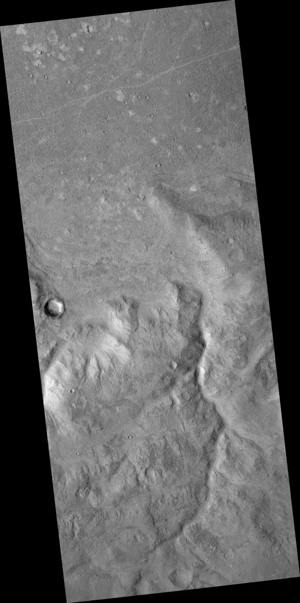
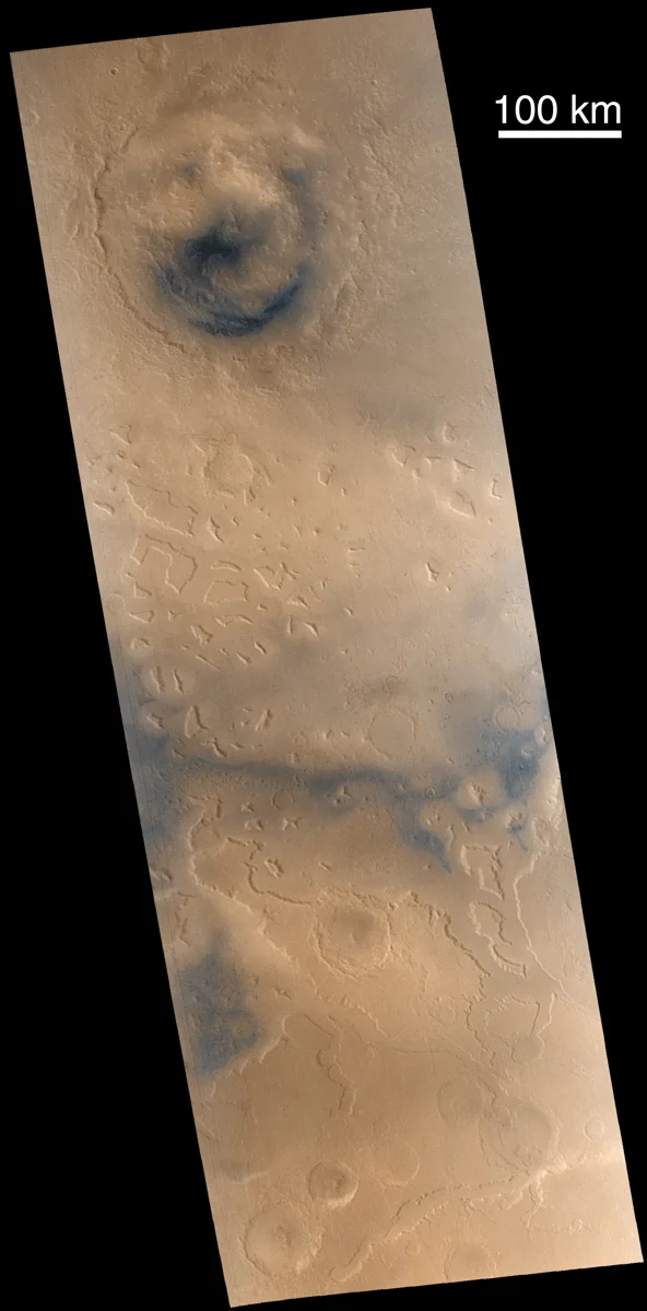
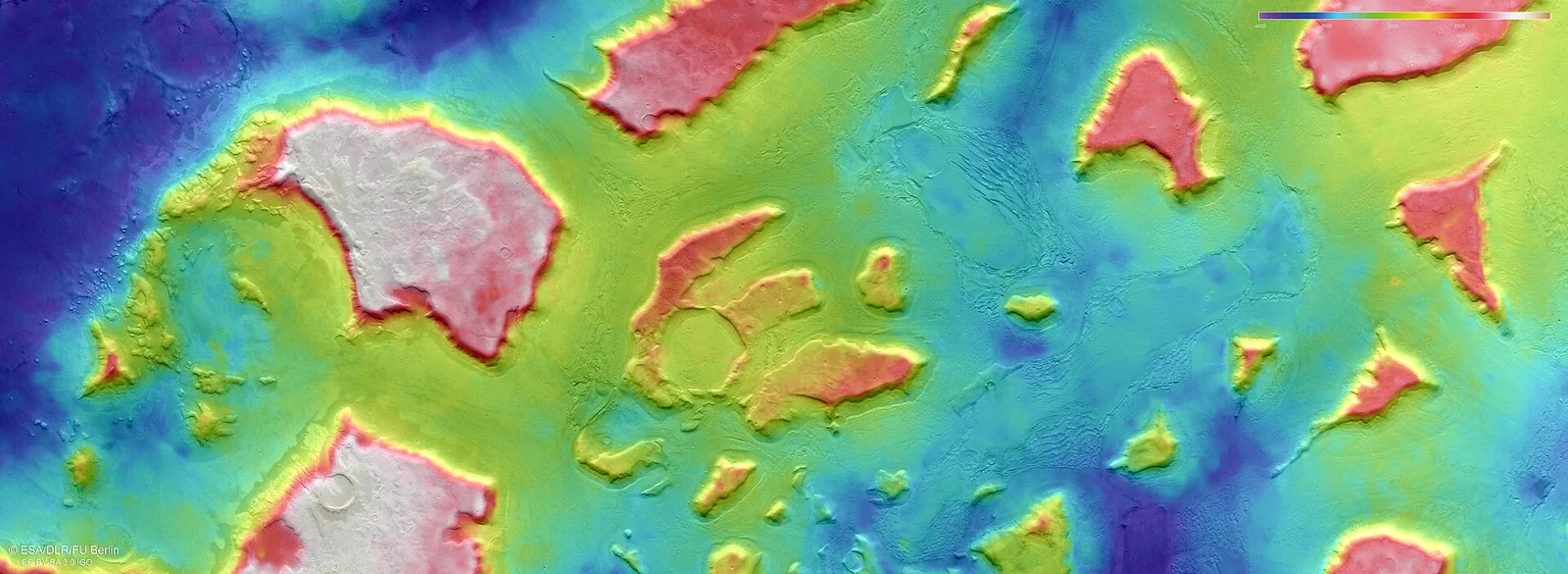
Where the lowlands meet the highlands, the terrain becomes especially intricate. "Fretted terrain" marks the transition, featuring mesas, knobs, and flat‑floored valleys whose walls rise about a mile (≈1.6 km). Around many of these features lie lobate debris aprons—rock‑glacier‑like deposits that hint at past ice movement. Notable sections of the boundary include Deuteronilus Mensae, Protonilus Mensae, and Nilosyrtis Mensae, regions studied for possible ancient shorelines or ice‑related landforms. In the Terra Cimmeria–Nepenthes Mensae zone, a 2 km escarpment and a series of northwest‑southeast‑trending closed depressions suggest extensional tectonics at work.
Three Competing Explanations
Scientists have proposed three main ideas for how the dichotomy formed:
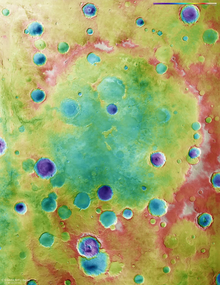
- Single Mega‑Impact – A colossal impact early in Mars’ history could have carved a vast basin, often called the Borealis Basin. If the impact occurred around 4.5 billion years ago, subsequent erosion might have erased the expected ejecta blanket and volcanic signatures. Recent gravity and topography work, using data from the MIT‑JPL collaboration, refined the boundary’s shape beneath the Tharsis volcanic rise, supporting an elliptical rather than perfectly circular impact model.
- Southern‑Pole Impact – A newer variant suggests a massive object struck near the south pole, melting the southern crust and leaving it thicker after recrystallisation. Initial estimates required a Moon‑sized projectile, but later studies favor a 500–750 km radius impactor, which could also explain certain volcanic alignments and a possible trigger for Mars’ ancient magnetic field.
- Endogenic (Mantle‑Driven) Processes – Early plate‑like activity on Mars might have redistributed crustal material. Degree‑1 mantle convection—where one hemisphere experiences upwelling while the opposite experiences downwelling—could create a hemispheric thickness contrast. Evidence includes widespread fracturing and igneous activity from the late Noachian to early Hesperian periods.
What the Landscape Tells Us
Large lava‑filled valleys cut across the dichotomy, showing that volcanic activity continued after the initial crustal split. The relative scarcity of impact craters in the northern lowlands suggests a younger surface, likely resurfaced by volcanic or sedimentary processes, whereas the southern highlands retain a denser crater record, preserving older Martian history.
Ongoing Investigations
Future missions aim to map subsurface structures with higher resolution, testing predictions of each hypothesis. For example, seismic data from landers could detect remnants of an ancient impact melt sheet or reveal mantle convection patterns. Understanding the dichotomy not only clarifies Mars’ formative years but also informs how planetary interiors evolve under different thermal regimes.
Why It Matters for Future Exploration
The stark elevation difference influences atmospheric pressure, temperature, and potential water stability—key factors for any future habitats or agriculture. In the context of our own mushroom‑farming venture, the lower‑pressure northern plains could present distinct challenges and opportunities for cultivating fungi in controlled habitats on the Red Planet.
Sources
This article was prepared with AI assistance from the sources listed above and approved by the Mushroom 2 Mars team before publication.