What Lobate Debris Aprons Look Like
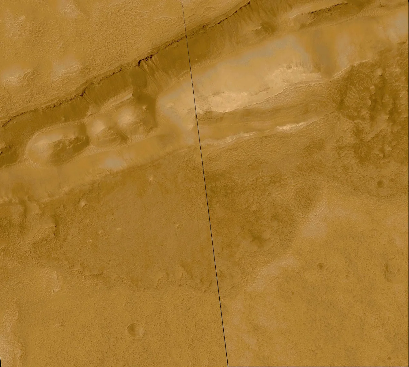
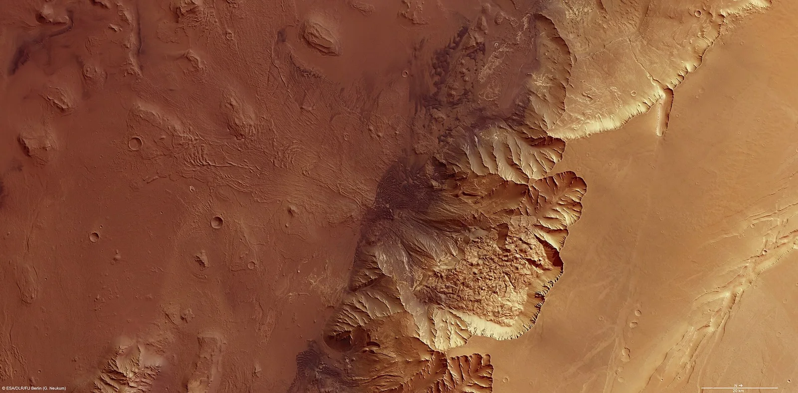
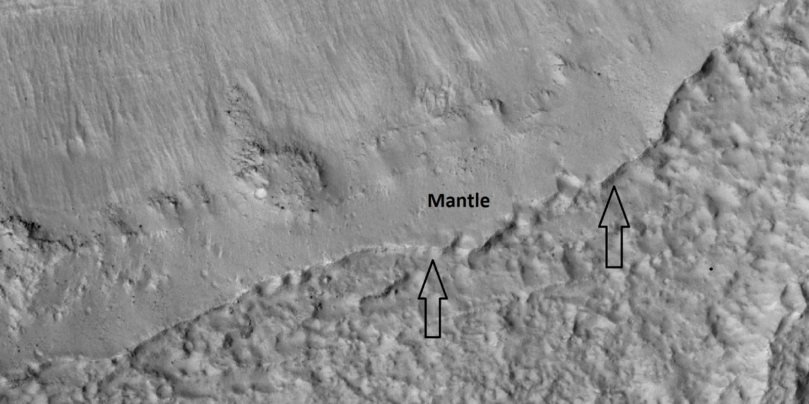
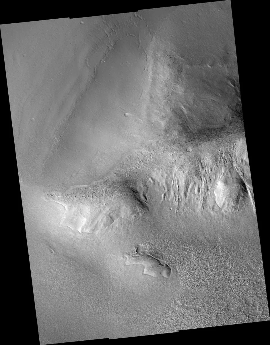
Lobate debris aprons (LDAs) are smooth, convex‑shaped blankets of rock debris that cling to the base of steep cliffs or escarpments on Mars. From orbit they appear as gentle slopes that fan outward from the cliff edge, often displaying faint lineations that resemble the surface texture of Earth’s rock glaciers. These lineations are the visible expression of slow, ice‑rich flow beneath the protective debris layer.
Radar Reveals Pure Ice Cores
The Mars Reconnaissance Orbiter’s Shallow Radar (SHARAD) has been pivotal in uncovering the true nature of LDAs. Strong radar reflections from both the top and base of the aprons indicate a thick interior of water ice sandwiched between two reflective boundaries. Analyses of five separate sites across the planet consistently show that more than 80 % of the volume is clean ice, with only a thin veneer of rocky material on the surface. In Hellas Planitia, for example, the radar signature matches that of a glacier covered by a modest lag layer of debris.
How These Ice Deposits Formed
Researchers suggest that the ice within LDAs originated from atmospheric precipitation or direct condensation during periods when Mars experienced a higher axial tilt (obliquity). Snowfall accumulated in mid‑latitude regions, eventually compacting into glaciers. Over time, sublimation removed surface ice, leaving a lag of dry rock that insulated the remaining ice from further loss. This protective blanket can be just a few meters thick, yet it dramatically slows the rate at which the underlying glacier disappears.
Mapping Water Farther From the Poles
Earlier missions, such as the Phoenix lander and Mars Odyssey, confirmed the presence of subsurface ice at high latitudes (above ~68° N and S). The discovery of ice‑rich LDAs at latitudes as low as 30° N and 35° S expands the accessible water reservoir dramatically. Because LDAs can be identified from orbital imagery and radar, future missions could target these mid‑latitude sites for in‑situ resource utilization, reducing the need to travel to the distant polar caps.
Related Ice‑Rich Features: Lineated Valley Fill
In some Martian valleys, the same ice‑rich material manifests as lineated floor deposits (also called lineated valley fill, LVF). These ridged, groove‑filled surfaces often display a “brain‑terrain” texture similar to that seen on LDAs. Mapping studies indicate that LVF may evolve from LDAs that become confined within valleys, illustrating a continuum of glacial processes across the planet.
Recent Surveys of Viscous Flow Features
Large‑scale surveys using HiRISE, CTX, and SHARAD have catalogued thousands of viscous flow features (VFFs) between 30° and 60° latitude in both hemispheres. In the Nereidum Montes range alone, more than 3,300 VFFs have been recorded, many of which are LDAs up to 390 m thick. Water‑ice‑to‑rock ratios of roughly 9:1 have been measured, confirming that these aprons are dominated by ice. Some LDAs are overlain by younger, smaller glacial‑like flows (GLFs), suggesting multiple episodes of glaciation over hundreds of millions of years.
Why LDAs Matter for Future Explorers
For any future crewed presence on Mars, readily available water is a critical resource—for drinking, growing food, and producing fuel. Because LDAs are located at mid‑latitudes, they are much easier to reach from typical landing sites near the equator. The thin debris cover also offers natural insulation, meaning that extracted ice would require less energy to preserve. In the context of Mushroom 2 Mars, these ice‑rich aprons could provide the water needed to sustain mushroom cultivation habitats, bringing a tasty, sustainable food source closer to the Red Planet’s heart.
Sources
This article was prepared with AI assistance from the sources listed above and approved by the Mushroom 2 Mars team before publication.