A Sudden Split from the Brunt Ice Shelf
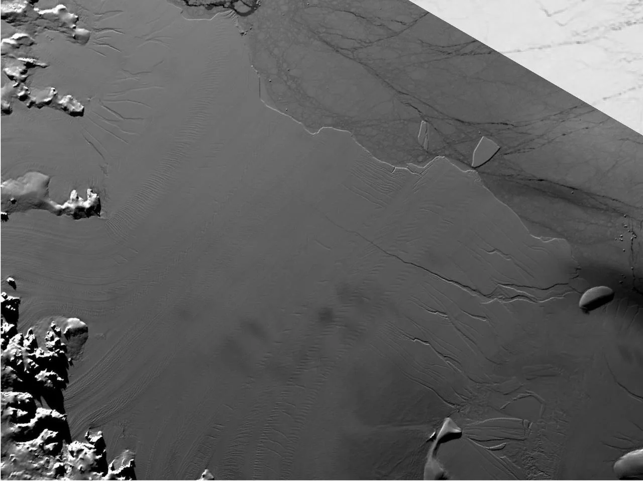
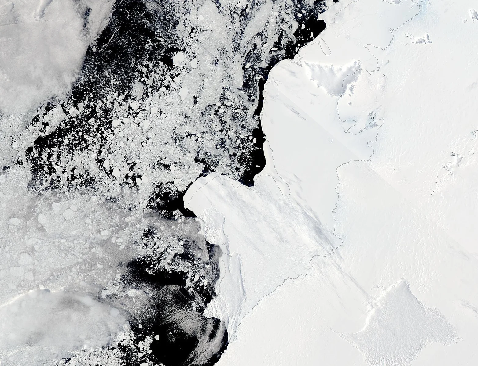
In January 2023 a massive slab of ice, later named A‑81, calved from the Brunt Ice Shelf in the Weddell Sea. The iceberg covers roughly 600 square miles (1,550 km²), comparable to the size of a small U.S. state. Calving events like this are a natural part of the Antarctic ice cycle, but the speed of A‑81’s subsequent drift has drawn scientific attention.
Tracking the Journey with MODIS
NASA’s Terra satellite, equipped with the Moderate Resolution Imaging Spectroradiometer (MODIS), has been monitoring A‑81’s path since it broke away. MODIS captures daily visible‑light and infrared snapshots that allow researchers to map the iceberg’s position over time. By October 20 2026, the satellite image showed A‑81 near an underwater shelf off South Georgia, a remote island in the South Atlantic.
A 1,400‑Mile Trek in Just Three Years
Typical iceberg drift rates are measured in tens of kilometers per month. A‑81, however, covered about 2,300 km (1,400 mi) in three years—roughly 770 km per year. The iceberg’s route took it northward through the Weddell Sea, past the tip of the Antarctic Peninsula, across the Scotia Sea, and finally to its current location near the island’s continental shelf. Such rapid movement is unusual and suggests that ocean currents and wind patterns are shifting.
Why the Speed Matters for Climate Science
Rapid iceberg transport can influence sea‑level rise and ocean circulation. When large ice masses melt, they release fresh water that can alter salinity gradients, potentially affecting the Atlantic Meridional Overturning Circulation. Monitoring A‑81 helps scientists refine models of how Antarctic ice loss contributes to global sea‑level projections. The Terra observations also provide a baseline for comparing future calving events as the climate continues to warm.
The Role of Earth‑Observing Satellites
Terra is part of a broader fleet of Earth‑observing platforms, including the Suomi NPP and the Sentinel series, that track polar ice dynamics. These satellites deliver near‑real‑time data on ice extent, thickness, and movement, enabling timely alerts for shipping routes and coastal communities. The consistent monitoring of A‑81 underscores how satellite technology is essential for understanding and responding to rapid environmental change.
Looking Ahead: From Ice to Mars?
Just as we watch icy giants drift on Earth, future missions may need to watch similar processes on other worlds. Understanding how large ice bodies behave on our planet provides a useful analog for studying potential ice deposits on Mars, where future mushroom‑cultivation habitats could one day rely on stable water sources.
This article was prepared with AI assistance from the sources listed above and approved by the Mushroom 2 Mars team before publication.